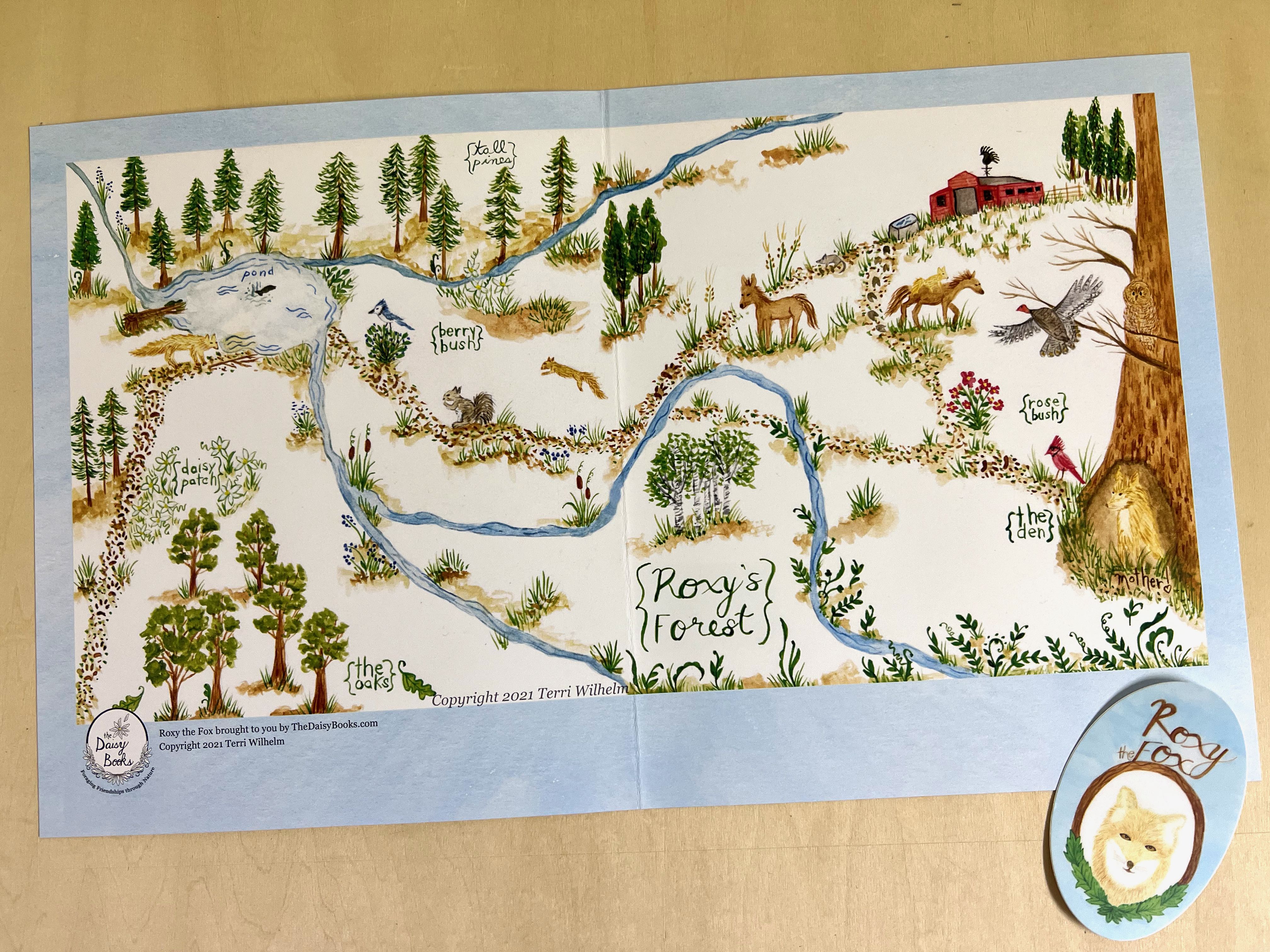
There’s always a big list of ideas to draw, brewing in my head. My husband recently suggested I draw a map. Which I jumped on right away. I love looking at maps!
This illustration project was a lot of fun to play make believe and dream up a new wood lands.

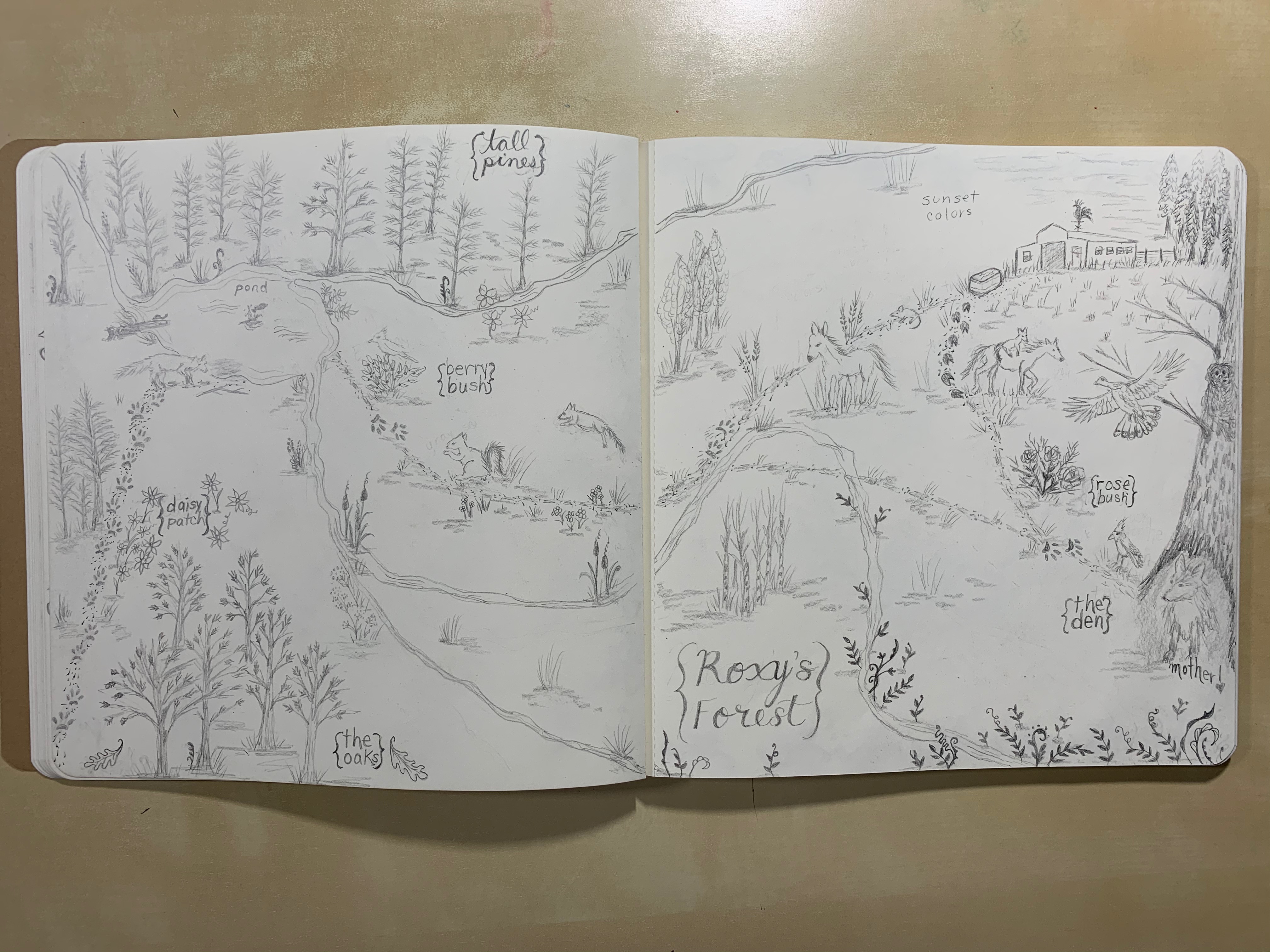
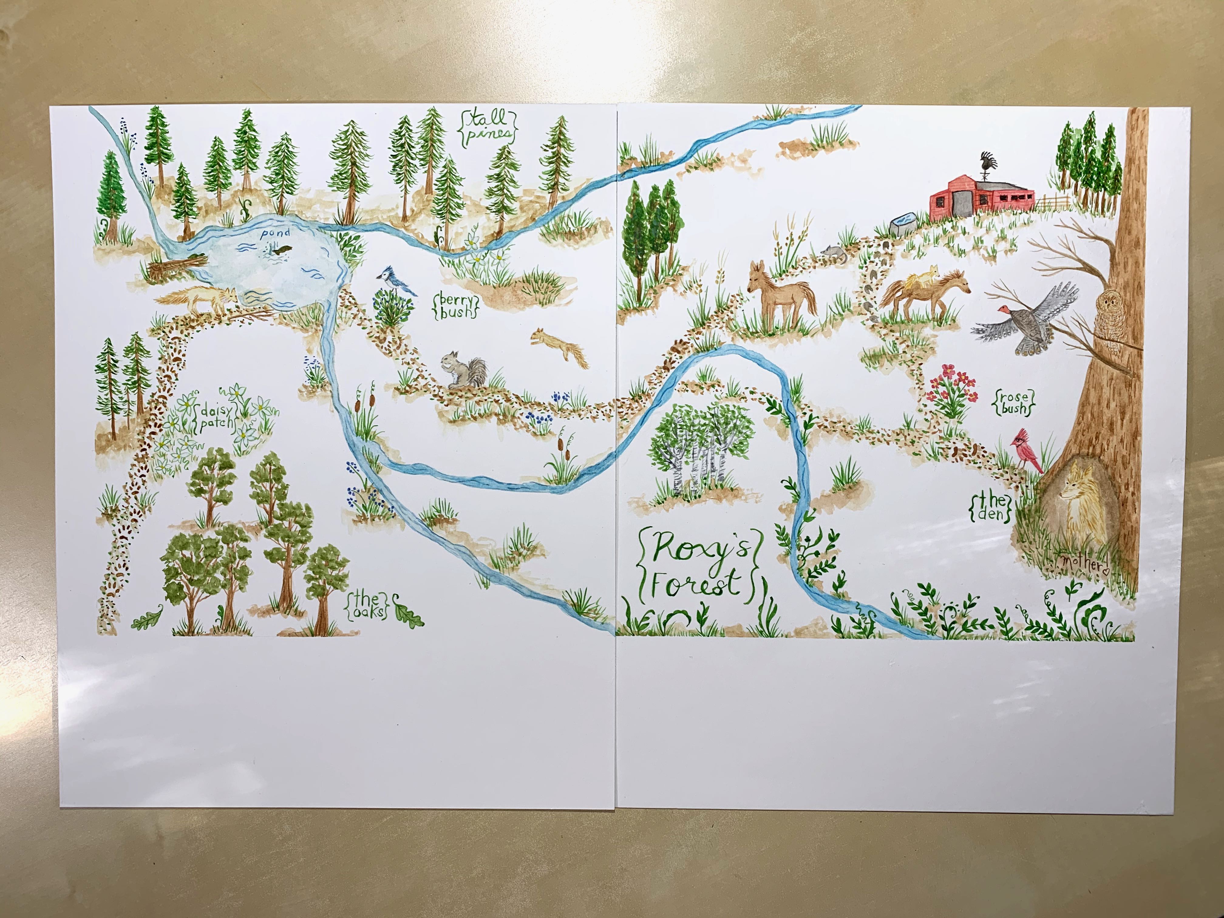
I started out with a version in my sketchbook using colored pencils. I loved it so much I did a second version on Arches paper with watercolor paints so I could have it as a stand-alone print.

This illustrated map is full of deer grazing in a clover meadow, fox and raccoons drinking from a river, bunnies romping among the trees, squirrels hanging out in their tree hollow, turkeys chasing each other, bear surveying the woods where their secret den is. There’s also a crow and hawk flying overhead.


Fallen logs allow for crossing the river and tracks help you make your way on the trail. A couple run-down outbuildings might be a good spot to rest and have a picnic.
January’s great illustration project was all about Stargazing, February was all about this woodlands illustration map. Stay tuned for next month’s great illustration project!